Okay, it has obviously taken me six months to come back and finish blogging about the trip to Utah, which was 13 months ago now. For some reason processing the photos from December 7, 2017, just never really grabbed me. I never did finish, but here is what I did process, to wrap up my posts about that trip.
So for our last day in Moab, we took a scenic drive on Route 128 east of Moab. Here are some photos from the road, they might not be in order:
We wanted to do a loop and go drive up in the La Sal mountains, but the road was unfortunately closed for construction:
We went back to Route 128 and did a hike in Negro Bill Canyon. We had some trouble finding it, since the guidebooks all still call it Negro Bill, but the signage has changed and it's now called Grandstaff Canyon (Bill's last name). Bill was the first mixed race (he was half black, and I think half native american?) rancher in the area, and he owned land where the hiking trail is now located.
The sun was already sinking behind the mountains when we set out:
We had to cross this little river numerous times, which the guidebook made sound so fun, but in December, when the air and water are much colder than when most tourists visit, it was a little more of a pain to do so without slipping and falling in:
Ed on the trail:
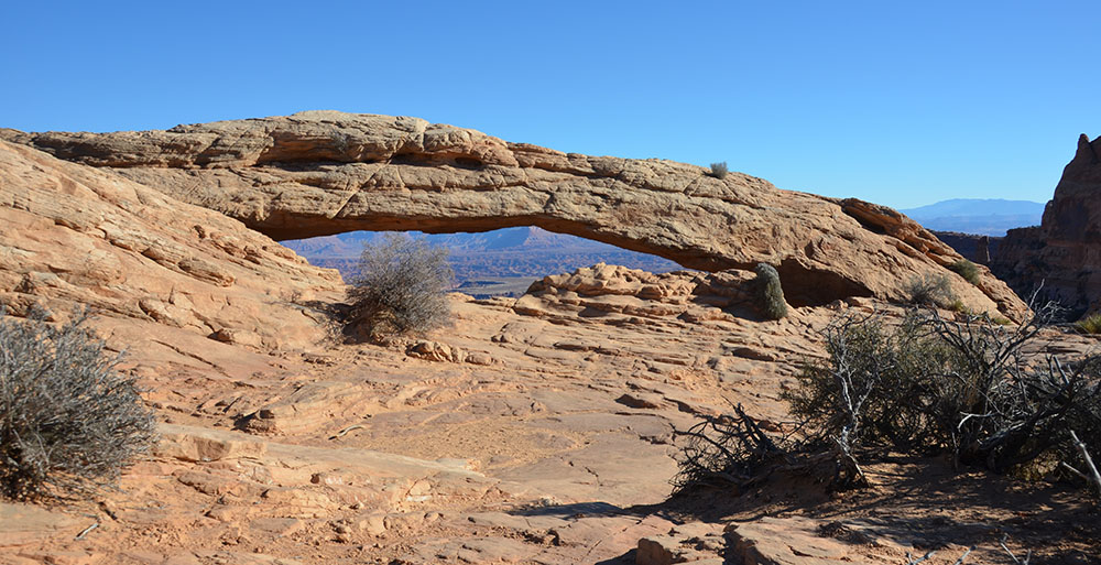
The trail ends up at this natural bridge, called Morning Glory Arch. It's huge!
On the way back to the car, I took some photos of Ed hopping over the various crossing points of the stream. I don't think either of us fell in, which was an accomplishment as the footing was rough and slippery:
And, just a few more photos from the road:
And that was our last day in Moab. Next day it was back to Salt Lake City.