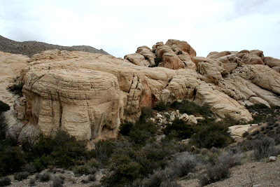
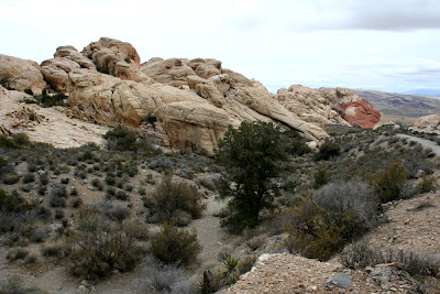
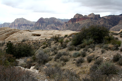
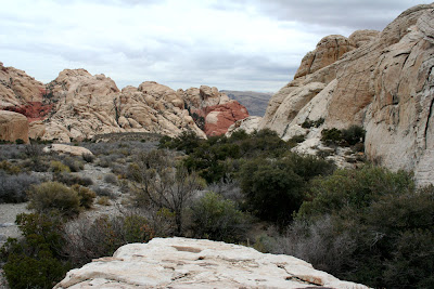
Some more rocks on the way up, and some more peeks at the peak:
I thought this one looked a bit like an elephant:
At around the halfway point, the landscape became more like this:
Looking back. That's another gravel wash coming down off the mountain.
This below is a little before the spot where we lost the trail and had to turn around. We met some other hikers coming down off the peak, and they said we'd make it (we had better shoes, poles etc), but the trail basically went missing, it was getting late in the day, and as you will see in later pics, the sky was getting really threatening! Not good conditions to go scrambling over pointy rocks and have to come off the mountain in lower light. Plus, these gravel washes in the desert are at risk of flash flooding, and I didn't know this landscape well enough to be sure we'd be OK if that sky opened up and started raining as heavily as it looked it might.
That's one thing about Red Rocks Canyon park- it's really hard to stay on their trails. They're not well marked, sometimes not marked at all after the trailhead, and because they are so hard to find, the trails of previous hikers form a delta of tributary trails, all of which eventually come to dead ends. We just couldn't find the trail that went for the peak, and conditions weren't good enough to scramble over cliffs and boulders.
I didn't take too many photos up around the un-summit, as it was too dark and closed in.
I liked some of the views on the way down though...
We did a little side hike too on the way down and climbed one of the rock hills. Look at that sky... now does that look like a desert sky to you?
So, a bit of a disappointment, but we still got some amazing views, and with all the cloud, we might not have had the 360 degree view at the top of Turtlehead that we were hoping for.
Next stop... Hoover Dam! They built a new bridge there, did you hear about it?
Friday, January 14, 2011
Subscribe to:
Post Comments (Atom)


No comments:
Post a Comment