Sunday, June 5, 2011

Flare cans at the old airstrip

Until the early 1970's, planes coming to Grise Fiord used to land about a mile and a half east of town, at least during the seasons when they couldn't land on the ice, which is also something they used to do (and did as recently as last Thursday when high winds at the current airport prevented a landing there).

They used to mark the airstrip with flares in cans.  The cans are mostly still sitting there at the site.  I took these photos on May 23.


This is just a photo of the gravel around there.

Friday, June 3, 2011

Wednesday, June 1, 2011

Bear skin

This would be from one of the sports hunter trips, I think.

Monday, May 30, 2011

Ice heaves

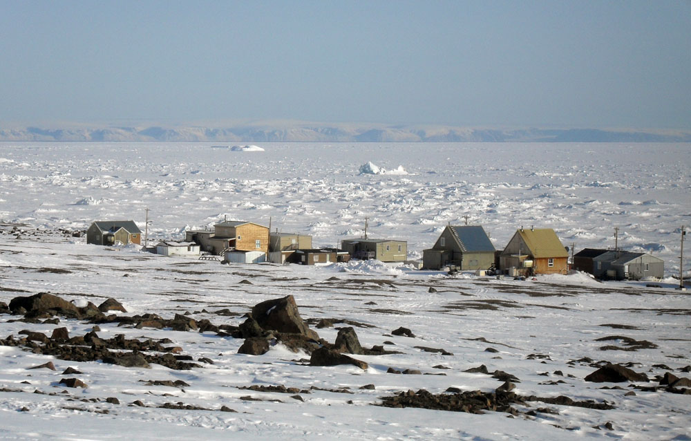
I hope I'm not boring you with my ice heave photos.  I just think it's so cool the effect the tides have on the ice close to shore.  These formations are constantly changing.  I took these pictures on May 19.


Friday, May 27, 2011

Skidoo tracks on the mountain

The young guys like to test their skidoos, their skills, and their bravery by heading up the mountainside on their machines:


For a while, every few days there was a new loop higher than the next.  It gets pretty steep, the photo doesn't quite do it justice.

Wednesday, May 25, 2011

Devon Island

Devon Island is around 75 km south of Grise Fiord at it's closest point.  You can't always see it, you need clear weather.  May 20 the weather was really clear, and I had a good view of it as I climbed up a little ways up a mountain behind town.


In the photo below you can see open water (the dark blue stripe between the ice and the mountains), the floe edge is moving closer to town:

Monday, May 23, 2011

Iceberg

In the many years I've been working in Nunavut, I've never had the chance to walk out to an iceberg frozen in the ice.  I've seen icebergs many times, usually during open-water season.  This year in Grise Fiord, there is a small iceberg within walking distance of town, around a mile and a half out.  It was May 21 that I walked out there.

That's the berg in the distance, upper left:


Once I got closer to it, I could see that it was melted out in the middle to form two lobes:


I took quite a few photos- it's beautiful.  There's dirt on this iceberg- it was either attached to land at some point or has been resting on the sea floor during low tides at some point in it's existence.


Thursday, May 19, 2011

Panorama of Jones Sound

After I looked at the monument, I walked over to the base of the mountains behind it.  I took this panorama looking out over the town and Jones Sound.  It's probably around a 150 degree view.


It's finally starting to feel a bit like spring here- the sun is so intense, which it has been for a while, but the temperatures are pretty consistently warmer than -10 now, so it's really nice for walking.

Monday, May 16, 2011

Monument

I had heard of this monument but hadn't been out to see it yet.  It's kind of tucked away in an out of the way location, behind the co-op.  You can't really see it from anywhere in town.  From the monument though you have a nice view of the community and Jones Sound.


Friday, May 13, 2011

Ice sprouts

I don't know if there is a specific name for these ice formations near the shore, but they remind me of how the earth bulges when germinating seeds poke up in the spring, in gigantic form: