Monday, April 29, 2013

Devil's Cornfield, Death Valley

Can you see a naming theme in play in Death Valley?  I guess Satan claimed this territory, maybe Jesus got Sequoia.

Anyway, the weather was interesting this day, Dec 13, 2012.  Lots of clouds - there was even some rain!  This is the Devil's Cornfield, I guess the plants and spacing evoke the cornfield after the harvest.


Anyway, this was just a stop at the side of the road on our way to Mosaic Canyon, so we're heading there now...

Friday, April 26, 2013

Golden Canyon, Death Valley

This was yet another amazing hike in Death Valley.  It was towards the end of the day, so we got the "golden light" of late afternoon.  Most of these photos are Ed's as his camera handles shadows a lot better than mine does (plus he's a better photographer, but the cameras really do matter!).  Also, as the light got better and better as time went on, most of the photos are from the hike back.  They're not really in order either.


This was towards the furthest point of the hike - we had planned to go further, but it was so windy that it became unsafe, this is me descending from the spot (where the trail meets the horizon) where it just got too windy and steep to continue safely:


That's the peak we'd been at the base of when we turned around:


This is from a little side trail earlier in the hike.  There were all these little narrow sub-canyons you could hike into off the main trail.  I wish we'd had more time to explore more of them.


This formation below is (I think) called the Cathedral:


We found a path (it was fun, through narrow cracks and little tunnels) to take us to the base of it:


Trail on the way back:


If you had any doubts that Death Valley is a breathtaking, amazing landscape, these next photos will convince you:


You can see the trail again in the next ones:


This is almost at the mouth of the canyon.  Believe it or not, until the 1970's, this canyon was paved and cars drove into it!  They had a huge storm and the road was washed out, but a few bits of pavement remain, the two photos below show some remaining chunks of asphalt, going back to nature:


That was all for December 12.  We'll be heading to Mosaic Canyon on the 13th, so c'mon back for that...

Wednesday, April 24, 2013

Artist's Drive (and hike!)

This is one of Death Valley's scenic drives.  Like everywhere else in the park, you can hop out wherever you like and just start hiking, so that is what we did.  These photos are from Dec. 12, 2012.


I love how the eroded rubble from the mountains itself gets eroded into the same patterns as the mountain it washed off of:


We saw some people wandering around in this area, so we parked and got out to have a look and take a hike.


Below is a gravel wash coming out of a small canyon - for those who don't know washes, they fill with water after rain storms, and are dry the rest of the time.


We decided to hike into the wash, as there seemed to be a tempting canyon at the end of it:


There was!  It was cool to hike into it, the passage is pretty narrow in places:


Same wash, but hiking out this time:


This is the formation called "Artist's Palette".  It is pretty colourful...


I think this part looks more like Spumoni ice cream:


And now with people, to give you perspective:


Next stop, Golden Canyon, fasten your seat belts (but don't get too comfy, that one's another hike!)

Monday, April 22, 2013

The Devil's Golf Course

I'm not sure why this part of the Death Valley salt basin is called the Devil's Golf Course - must have been named by an obsessed and traumatized golfer, who thought the salt formations looked like divots?

You can walk right out onto it, even though that affects the salt formations- I guess they must just re-form after the few storms that the area gets.  Death Valley is the land of no fences, you can go pretty much anywhere, and they tell you that.  They do mention to watch your step though, especially here - it is very hard to walk, and would be really sharp if you fell.

The first one is just a morning photo of the drive there, it was beautiful ...


Here's the Devil's Golf course, with a few close-ups of the crystals.  I should have stuck my foot into a photo for size comparison, the formations are the size of large divots.


Friday, April 19, 2013

The Ubehebe craters, big and little

If you like craters, Death Valley has the craters you've been looking for.  The Ubehebe and Little Hebe craters are volcanic, with the large crater being created about 1000 years ago, and the smaller one 300 to 500 years ago (just a baby!).

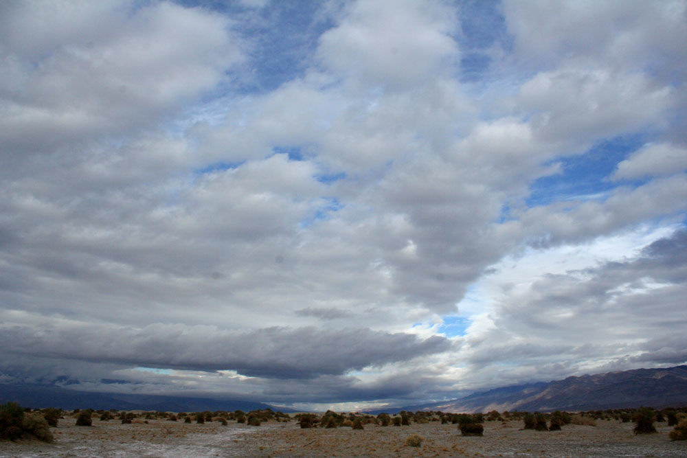
The landscape around the crater is a wide valley with these tumbleweed-like plants (or maybe they are tumbleweeds, I am not much of an expert on desert plants).


The road curves and heads towards the crater up ahead...


You arrive at the parking lot, and wow!  This is one big crater!


There's a trail to hike around it, so off we go, that is me on the trail.  We took the wrong route by mistake and ended up on a very skinny and scary ridge, but we made it.


This is looking down the eroded ridges of the outside of the crater:


This piece is kind of an offshoot to the main crater which is to the left out of the frame, maybe there was a more minor explosion here:


See, that's the trail we should have taken that cuts across the main crater and the offshoot.


Now we are looking into the Little Hebe crater, we hiked around this one too, it is just a bit beyond that other crater offshoot.


You get a much better view of it from further along the trail, this is it:


Back to the main crater, you can see it was the end of the day, the shadows are rapidly filling it:


These next two are just of the landscape around the crater:


Crater rim with the mountains in the background:


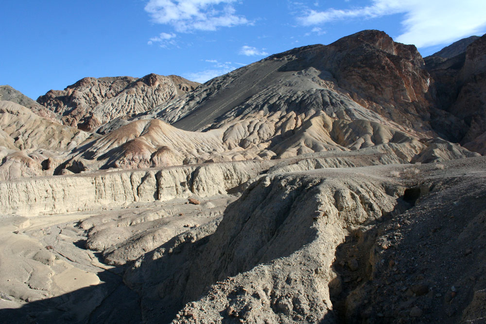
A look at the eroded crater sides, now in shadow:


It's a long trail!  It took us a couple of hours to hike the loop around both craters.


This shows the pathway down into the crater, we are going to take that too:


This is me again on the last leg of the trail, coming up to the path that goes down into the crater:


Starting to descend...


That's me down at the bottom, can you see me?  Ed took this and he is at least 3/4 of the way there himself, it is very deep and big, it's around 450 feet deep, and the trail that descends is around 0.3 miles long.


This is the mud floor of the crater, I liked the patterns.


So that was it for December 11, with more fun stuff to come the next day ...